

 CAD tip # 11511:

|
| Question | CAD % platform category |
||||||||
|---|---|---|---|---|---|---|---|---|---|
|
|
||||||||
") AutoCAD
AutoCAD| See also: | |
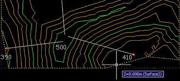
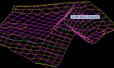
| Tip 11068: | Unknown icon in an AutoCAD Civil 3D project. |
| Tip 9917: | Cannot create terrain model from attached point cloud in AutoCAD Civil 3D 2015. |
Have we helped you? If you want to support the CAD Forum web service, consider buying one of our CAD applications, or our custom software development offerings, or donating via PayPal (see above).
You may also add a link to your web - like this "fan" link:
|
|
|
Featuring: Simply link AutoCAD LT blocks to Excel table data. Excellink LT 2006 
|
Please use these tips at your own risk.
Arkance Systems is not responsible for possible problems that may occur as a result of using any of these tips.
|
Arkance Systems CZ s.r.o. (CAD Studio) - Autodesk Platinum Partner & Training Center & Consulting Services Partner
|
CONTACT:
webmaster.cz@arkance-systems.com tel. +420 910 970 111 |
||
| Copyright © 2024 | Advertise with us | Online privacy |
| ||
