

 CAD tip # 9216:

|
| Question | CAD % platform category |
||||||||
|---|---|---|---|---|---|---|---|---|---|
|
|
||||||||
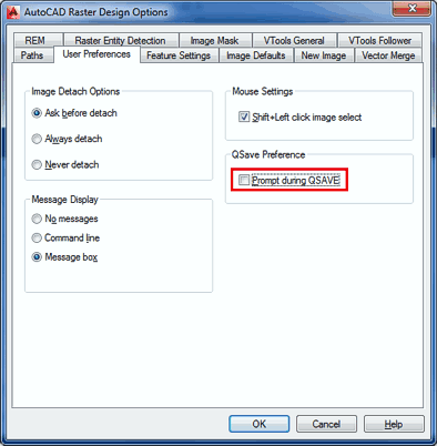
applies to: AutoCAD · Raster Design · | |||||||||
") AutoCAD
AutoCAD| See also: | |
| Tip 13421: | The MAPIINSERT command does not offer a georeference (data from the world file) |
| Tip 12361: | Seamlessly connected images by irregular clipping in AutoCAD (or LT). |
| Tip 9405: | Cannot multi-select polyline vertices above a raster image. |
| Tip 9348: | How to add custom paper format to AutoCAD? (grayed) |
| Tip 9255: | Align image, change width/height independently. |
Why does Inventor load my assembly in Express Mode? « | » Export coordinates of intersection points.
Have we helped you? If you want to support the CAD Forum web service, consider buying one of our CAD applications, or our custom software development offerings, or donating via PayPal (see above).
You may also add a link to your web - like this "fan" link:
|
|
|
Featuring: Export 3D VRML scenes from AutoCAD and Inventor VRMLout 
|
Please use these tips at your own risk.
Arkance Systems is not responsible for possible problems that may occur as a result of using any of these tips.
|
Arkance Systems CZ s.r.o. (CAD Studio) - Autodesk Platinum Partner & Training Center & Consulting Services Partner
|
CONTACT:
webmaster.cz@arkance-systems.com tel. +420 910 970 111 |
||
| Copyright © 2024 | Advertise with us | Online privacy |
| ||
