


 CAD tip # 8104:

|
| Question | CAD % platform category |
||||||||
|---|---|---|---|---|---|---|---|---|---|
|
|
||||||||
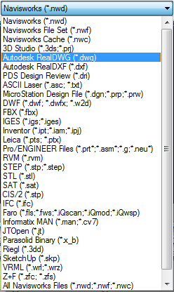
applies to: Navisworks 2012 · | |||||||||
 AEC Collection
| See also: | |
| Tip 13844: | With which subscriptions do I get Autodesk Drive cloud storage as a bonus? |
| Tip 13597: | How to convert RGB color to Pantone, RAL, AutoCAD ACI, CMYK or vice versa? |
| Tip 13404: | How to import an IFC file in AutoCAD? |
| Tip 12348: | Is it possible to import SketchUp SKP files 2013, 2018,2019 or 2020 into Revit? |
| Tip 11818: | How to change resolution of images in the Clash Detective report in Navisworks? |
Selected tip:
Computer considerably slows down when printing from AutoCAD LT2000 to a DesignJet 500.
Where is the Open button in Inventor Mobile Viewer for Android? « | » Infinite library of rendering textures - Substance.
Have we helped you? If you want to support the CAD Forum web service, consider buying one of our CAD applications, or our custom software development offerings, or donating via PayPal (see above).
You may also add a link to your web - like this "fan" link:
|
|
|
Featuring: Use Google Earth images in your AutoCAD projects with the Plex.Earth Tools 
|
Please use these tips at your own risk.
Arkance Systems is not responsible for possible problems that may occur as a result of using any of these tips.
|
Arkance Systems CZ s.r.o. (CAD Studio) - Autodesk Platinum Partner & Training Center & Consulting Services Partner
|
CONTACT:
webmaster.cz@arkance-systems.com tel. +420 910 970 111 |
||
| Copyright © 2024 | Advertise with us | Online privacy |
| ||
