

 CAD tip # 10383:

|
| Question | CAD % platform category |
||||||||
|---|---|---|---|---|---|---|---|---|---|
|
|
||||||||
applies to: AutoCAD · | |||||||||
") AutoCAD
AutoCAD| See also: | |
| Tip 10416: | How to fix/repair large 3D mesh models? |
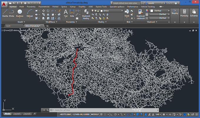
| Tip 10128: | How to convert a line-based map to closed polygons (lots)? |
| Tip 10102: | How to simplify a complex 3D mesh model? |
| Tip 4068: | How to find the polyline direction/orientation? |
| Tip 3541: | "Topology is correct and incomplete" but it cannot be deleted. |
How to disable downloads for a selected file in A360 Team? « | » Move dimension text in AutoCAD context menu.
Have we helped you? If you want to support the CAD Forum web service, consider buying one of our CAD applications, or our custom software development offerings, or donating via PayPal (see above).
You may also add a link to your web - like this "fan" link:
|
|
|
Featuring: Use Google Earth images in your AutoCAD projects with the Plex.Earth Tools 
|
Please use these tips at your own risk.
Arkance Systems is not responsible for possible problems that may occur as a result of using any of these tips.
|
Arkance Systems CZ s.r.o. (CAD Studio) - Autodesk Platinum Partner & Training Center & Consulting Services Partner
|
CONTACT:
webmaster.cz@arkance-systems.com tel. +420 910 970 111 |
||
| Copyright © 2024 | Advertise with us | Online privacy |
| ||
