

 CAD tip # 9020:

|
| Question | CAD % platform category |
||||||||
|---|---|---|---|---|---|---|---|---|---|
|
|
||||||||
applies to: AutoCAD Map 3D · Civil 3D · | |||||||||
") Civil 3D
Civil 3D| See also: | |
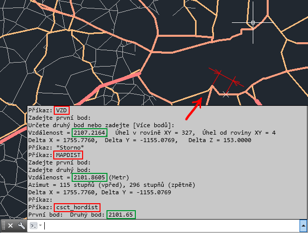
| Tip 14017: | Voronoi diagrams in AutoCAD. |
| Tip 13887: | ClosestPt - the nearest point on another curve |
| Tip 13737: | Formatting leading zeros in AutoCAD fields (and automatic field update). |
| Tip 13221: | Attractor - snap multiple objects to existing points/vertices. |
| Tip 13064: | How do I measure or enter distances along a curve in Fusion 360? |
Selected tip:
How to convert RFA format to DWG files for AutoCAD?
How to convert selected drawing texts to UPPER/lower-case? « | » Installation: Microsoft Visual C++ 2005: Command line option syntax error.
Have we helped you? If you want to support the CAD Forum web service, consider buying one of our CAD applications, or our custom software development offerings, or donating via PayPal (see above).
You may also add a link to your web - like this "fan" link:
|
|
|
Featuring: Use Google Earth images in your AutoCAD projects with the Plex.Earth Tools 
|
Please use these tips at your own risk.
Arkance Systems is not responsible for possible problems that may occur as a result of using any of these tips.
|
Arkance Systems CZ s.r.o. (CAD Studio) - Autodesk Platinum Partner & Training Center & Consulting Services Partner
|
CONTACT:
webmaster.cz@arkance-systems.com tel. +420 910 970 111 |
||
| Copyright © 2024 | Advertise with us | Online privacy |
| ||
