


 CAD tip # 7118:

|
| Question | CAD % platform category |
||||||||
|---|---|---|---|---|---|---|---|---|---|
|
|
||||||||
applies to: Civil 3D 2010 · Civil 3D 2009 · | |||||||||
") Civil 3D
Civil 3D| See also: | |
| Tip 14093: | 3D terrain model of any place in Czechia - elevation data by the Czech Land Survey Office (CUZK) into Civil 3D. |
| Tip 14056: | How to move blocks in the Z axis to the terrain model surface? |
| Tip 12988: | Where are Autodesk Infraworks building, road and terrain models loaded from? |
| Tip 11511: | Assigning elevations to 2D contours (isolines). |
| Tip 11068: | Unknown icon in an AutoCAD Civil 3D project. |
Selected tip:
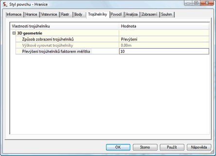
Cannot select a specific text in my drawing.
Have we helped you? If you want to support the CAD Forum web service, consider buying one of our CAD applications, or our custom software development offerings, or donating via PayPal (see above).
You may also add a link to your web - like this "fan" link:
|
|
|
Featuring: Extend your AutoCAD LT productivity with our popular add-on CADstudio LT Extension 
|
Please use these tips at your own risk.
Arkance Systems is not responsible for possible problems that may occur as a result of using any of these tips.
|
Arkance Systems CZ s.r.o. (CAD Studio) - Autodesk Platinum Partner & Training Center & Consulting Services Partner
|
CONTACT:
webmaster.cz@arkance-systems.com tel. +420 910 970 111 |
||
| Copyright © 2024 | Advertise with us | Online privacy |
| ||
