

 CAD tip # 12779:

|
| Question | CAD % platform category |
||||||||
|---|---|---|---|---|---|---|---|---|---|
|
|
||||||||
applies to: Infraworks · | |||||||||

") Infraworks
Infraworks| See also: | |
| Tip 13873: | How to load GeoJSON data into AutoCAD, Map, Civil 3D, Infraworks? |
| Tip 13402: | Which products and features can I use for free with Flex Token licensing? |
| Tip 12988: | Where are Autodesk Infraworks building, road and terrain models loaded from? |
| Tip 12847: | How to make transparent mask for raster maps in Autodesk Infraworks? |
| Tip 12663: | How to transfer my project from Infraworks to Revit? |
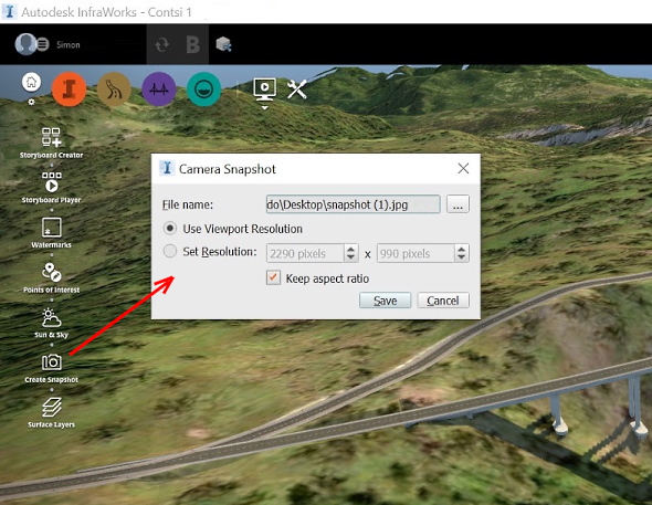
Selected tip:
How can I toggle through stacked viewports?
How to insert a character in Kanji or Pinyin into Fusion 360? « | » Arithmetic and trigonometric functions available in Revit expressions.
Have we helped you? If you want to support the CAD Forum web service, consider buying one of our CAD applications, or our custom software development offerings, or donating via PayPal (see above).
You may also add a link to your web - like this "fan" link:
|
|
|
Featuring: Add .CIT raster format support to AutoCAD and Map and Civil 3D CITin 
|
Please use these tips at your own risk.
Arkance Systems is not responsible for possible problems that may occur as a result of using any of these tips.
|
Arkance Systems CZ s.r.o. (CAD Studio) - Autodesk Platinum Partner & Training Center & Consulting Services Partner
|
CONTACT:
webmaster.cz@arkance-systems.com tel. +420 910 970 111 |
||
| Copyright © 2024 | Advertise with us | Online privacy |
| ||
