CAD Forum - tips, tricks, discussion and utilities for AutoCAD, Inventor, Revit and other Autodesk products [www.cadforum.cz]
CZ | EN | DE
Login or
registration
  Visitors: 8241

CAD tip CAD tip # 12914:

   
Question CAD 
 %  platform  category 
Q - question

Geo2GPS - GPS or UTM coordinates or web map from any coordinate of an AutoCAD DWG.

A - answer With the freeware utility Geo2GPS you can display GPS (WGS84) or UTM coordinates of any clicked point in a georeferenced drawing. Beside that, you can directly open a map around that given point in the web service Google Maps (incl. Street View) or in Mapy.cz.

Download the VLX file of this LISP add-on application from Download and load it into your AutoCAD, Map or Civil with the command APPLOAD. Make sure your DWG drawing has some geodetic coordinate system assigned (see the command _GEOGRAPHICLOCATION).

Then you can use the command GEO2GPS to display GPS coordinates of the clicked points or the command GEO2UTM to display UTM coordinates. In addition, the Label option creates a label in the drawing with the GPS or UTM coordinate value. The Dynamic option switches to a mode where the GPS/UTM coordinate is dynamically displayed as a tooltip when the mouse is moved. Click to insert a label, press "C" to change tooltip color, press "G" to switch back to individual get-points, "X" or Enter exits the loop.

The GEOMARKPOISTIONSIZE variable controls the size of the coordinate label in the drawing.

Or use the command GEO2MAPS to display the map of neighborhood of a given point in Google Maps, GEO2MAPSV to display Street View of the picked view, or GEO2MAPY to display the map in the Czech web service Mapy.cz.

See examples:

The LISP function (geo2gps _clicked_coordinate_) returns the GPS coordinate of the specified point.

Set:

(setq GEO2GPSURLSUFFIX "xxx")

to add suffix to web maps URLs (e.g. zoom level, type of map, etc).

credit: johny

ACADMapCivil3D
100% *  CAD 
4.4.2021    24333×  
Prices - CAD eShop:
applies to: AutoCAD · AutoCAD Map 3D · Civil 3D 3D ·

See also:
Tip 13784:Export block coordinates to a table. How to use the DATAEXTRACTION command in AutoCAD LT?
Tip 12926:How to import point coordinates from Excel to AutoCAD?
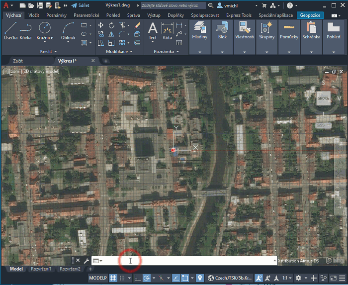
Tip 11970:How to find the map coordinate system of a drawing?
Tip 11847:Automatic UCS aligned with the current View (UCSauto switch).
Tip 10636:The entity isn't planar to the World Coordinate System and can't be converted.


Back   All CAD Tips


Have we helped you? If you want to support the CAD Forum web service, consider buying one of our CAD applications, or our custom software development offerings, or donating via PayPal (see above). You may also add a link to your web - like this "fan" link: CAD Forum - tips, utilities, blocks for Autodesk products
CAD:    OS:    Categ: 
Text:  FAQ glossary   


Featuring:
Export 3D VRML scenes from AutoCAD and Inventor
VRMLout More info


Please use these tips at your own risk.
Arkance Systems is not responsible for possible problems that may occur as a result of using any of these tips.
TOPlist