

 CAD tip # 13975:

|
| Question | CAD % platform category |
||||||||
|---|---|---|---|---|---|---|---|---|---|
|
|
||||||||
applies to: Revit · | |||||||||
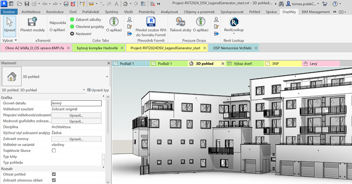
") Revit
Revit| See also: | |
| Tip 13131: | How to crop an image or PDF underlay in Revit? |
| Tip 7995: | How to change the tab order in Revit ribbon? |
How to publish a PDF to the same folder as a DWG drawing in AutoCAD? « | » What do geolocation codes like 8FWPXFCF+82 or 33UVQ61402434 mean?
Have we helped you? If you want to support the CAD Forum web service, consider buying one of our CAD applications, or our custom software development offerings, or donating via PayPal (see above).
You may also add a link to your web - like this "fan" link:
|
|
|
Featuring: Use Google Earth images in your AutoCAD projects with the Plex.Earth Tools 
|
Please use these tips at your own risk.
Arkance Systems is not responsible for possible problems that may occur as a result of using any of these tips.
|
Arkance Systems CZ s.r.o. (CAD Studio) - Autodesk Platinum Partner & Training Center & Consulting Services Partner
|
CONTACT:
webmaster.cz@arkance-systems.com tel. +420 910 970 111 |
||
| Copyright © 2024 | Advertise with us | Online privacy |
| ||
