![CAD Forum - tips, tricks, discussion and utilities for AutoCAD, Inventor, Revit and other Autodesk products [www.cadforum.cz]](../common/arkance_186.png "CAD Forum - tips, tricks, discussion and utilities for AutoCAD, Inventor, Revit and other Autodesk products [www.cadforum.cz]")

 CAD tip # 12105:
Question
Download the MinOf utility from  Download, load it into your AutoCAD with APPLOAD and start it by typing the MINOF or MAXOF command.
The first prompt asks for the drawing object type, this will also influence the next property set:
Specify type of compared objects [Any/Line/Polyline/anYline/clOsedpoly/Circle/Text/Insert/Hatch/Solid/poiNt/Bbox].
"Any" will accept any type of object, "anyLine" allows Lines, Polylines and Splines, "clOsedpoly" allow only closed LWpolylines, "Solid" means 3D Solids, "Bbox" will compare bounding boxes of the selected objects.
Then you will select the source objects for the comparison (or Any for all of that type).
The next prompt lists all common numeric properties for the selected object types (analyzes the first of them). You can also type any other property if you are familiar with the DWG objects. The "Centroid" property means "Z-coordinate of the centroid", the "strlEngth" pseudo-property is a computed string length (number of characters), the "attriBute" property allows to select a numeric block-attribute to compare, the customizable "cUstomprop" is described below.
The last prompt asks for choosing the Minimum (smallest) or Maximum (largest) object - compared by the selected property. The resulting object or objects will be selected - e.g. the shortest line, room with the highest number, etc.
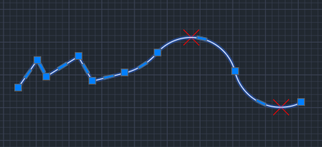
Since V1.5, the commands MinOfCurve/MaxOfCurve or the option Vertex in MinOf will identify the minimum or maximum value of a X/Y/Z coordinate on the selected curve (polyline, spline, helix) - either from all its points or just from its vertices or as a local extreme, just between two selected points. The extreme point(s) will be highlighted with the Point entities in the layer "MinOfCurve".
You can use MinOf or MaxOf either separately (grip-selects the specified object), or inside any other command invoking it on the "Select objects:" prompt by typing the transparent command 'MINOF or the LISP command (C:MINOF). See:
The special property "cUstomProp" can be used to process and compare any other object property. You will first need to define a custom function which will handle this parameter. This LISP function must be called "MinOfCustomProperty", has a single parameter, object ID and should return a number - the value of the custom-defined property. See examples:
;sample 1: string length
(defun MinOfCustomProperty (obj / prop)
	(if (vlax-property-available-p obj 'TextString)
	 (setq prop (vl-catch-all-apply 'vlax-get-property (list obj 'TextString)))
	 (setq prop nil)
	)
	(if prop (setq prop (strlen prop)))
)

;sample 2: distance of block from a given point
(defun MinOfCustomProperty (obj / prop)
 (if (not _minoflocal)(setq _minoflocal (getpoint "\nPick reference point: ")))
	(if (vlax-property-available-p obj 'InsertionPoint)
	 (setq prop (vl-catch-all-apply 'vlax-get-property (list obj 'InsertionPoint)))
	 (setq prop nil)
	)
	(if prop (setq prop (distance _minoflocal (vlax-safearray->list (vlax-variant-value prop)))))
)

