


 CAD tip # 9698:

|
| Question | CAD % platform category |
||||||||
|---|---|---|---|---|---|---|---|---|---|
|
|
||||||||
applies to: Infraworks · Infraworks · | |||||||||
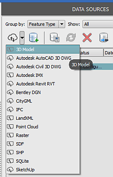
") Infraworks
Infraworks| See also: | |
| Tip 13873: | How to load GeoJSON data into AutoCAD, Map, Civil 3D, Infraworks? |
| Tip 13402: | Which products and features can I use for free with Flex Token licensing? |
| Tip 12988: | Where are Autodesk Infraworks building, road and terrain models loaded from? |
| Tip 12847: | How to make transparent mask for raster maps in Autodesk Infraworks? |
| Tip 12779: | How to export a hi-res image from Autodesk Infraworks? |
Selected tip:
Error: undefined block *X0 while importing DXF
Have we helped you? If you want to support the CAD Forum web service, consider buying one of our CAD applications, or our custom software development offerings, or donating via PayPal (see above).
You may also add a link to your web - like this "fan" link:
|
|
|
Featuring: Extend your AutoCAD LT productivity with our popular add-on CADstudio LT Extension 
|
Please use these tips at your own risk.
Arkance Systems is not responsible for possible problems that may occur as a result of using any of these tips.
|
Arkance Systems CZ s.r.o. (CAD Studio) - Autodesk Platinum Partner & Training Center & Consulting Services Partner
|
CONTACT:
webmaster.cz@arkance-systems.com tel. +420 910 970 111 |
||
| Copyright © 2024 | Advertise with us | Online privacy |
| ||
